Directions from Boston
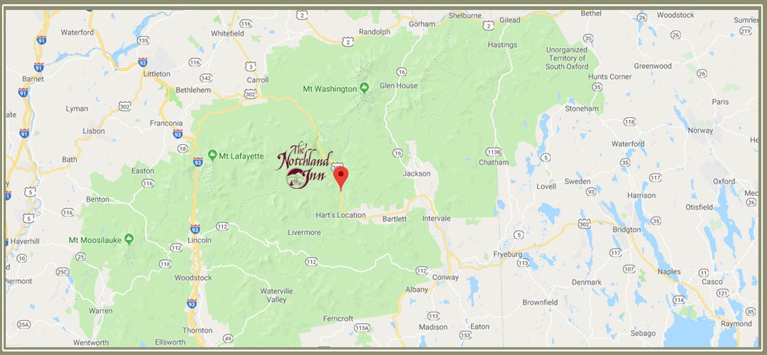
This map above is presented as an immediate guide to show you the location of Notchland in relation to some of the more popular travel routes. This Google Maps Link will also help you find us from your location, but please be aware of online map directions.
When traveling from the Greater Boston area …
In order to avoid possible congestion in the Conway/North Conway shopping district, we suggest taking the following route to Hart’s Location:
Get on Interstate 93 North.
Stay on this road through Franconia Notch (Cannon Mountain Ski Area).
Take Exit 35 onto Route 3 North. Follow this road for approximately 10 miles until it intersects with Route 302 at Twin Mountain.
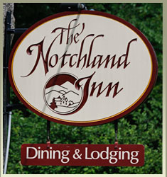
Make a right turn onto Route 302 East. Go about 16½ miles, past the Mt. Washington Hotel, into the National Forest and down through Crawford Notch. Watch for our sign (pictured right) at the end of our drive. We are the big granite building on the right, up the hillside.
If you get to Silver Springs Campground, you have gone too far. Turn around and look for us on your left.
If you want to dawdle or plan to do outlet shopping on your way…
Take Interstate Route 95 to Route 4 in Portsmouth which then becomes the Spaulding Turnpike (Route 16).
Stay on Route 16 through the Conways and out toward Glen.
At Glen, Route 16 goes north to your right. Don’t make the turn!
You want to continue straight ahead on Route 302. Pass Attitash Ski Area and go into Bartlett Village. There is a flashing traffic light at Bear Notch Road in the center of Bartlett Village. Continue on Route 302, into the National Forest, for about 6½ miles. Watch for our sign (pictured right) at the end of our drive. We are the big granite building on the left, up the hillside.
Our Physical Location:
2 Morey Road
Hart’s Location, New Hampshire 03812
GPS Coordinates:
N 44° 06′ 55″ W 71° 21′ 20”
Turn when you see our sign at the entrance to Notchland Inn.

